Process data
How to process NORMAP data
Products served by NERSC and METNO are stored in NetCDF/CF, and possibly in NetCDF4-Classic. Products served by KSAT are currently served in GeoTIFF.
Tools for viewing/analysis of NetCDF and GeoTIF files
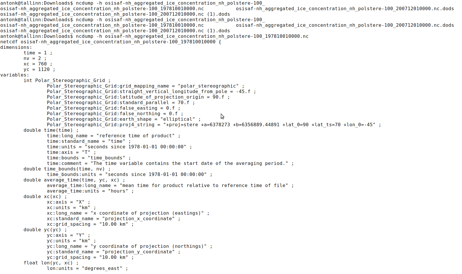
- NCDUMP
This is a simple command line utility for viewing metadata or data. You can use command ncdump -h filename.nc to get only header information.
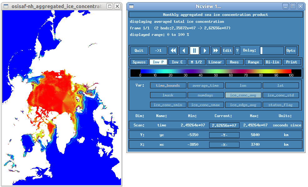
- NCVIEW
Ncview is a visual browser for netCDF format files. Typically you would use ncview to get a quick and easy, push-button look at your netCDF files.
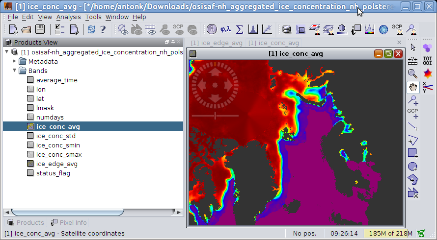
- BEAM/VISAT
BEAM is an open-source toolbox and development platform for viewing, analysing and processing of remote sensing raster data.
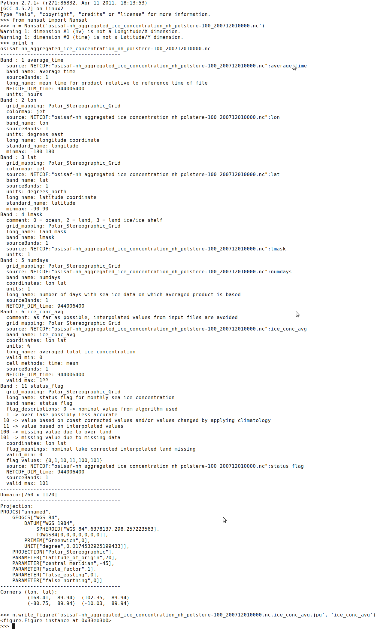
- Nansat
Nansat is a Python toolbox for easy manipulation with remote sensing and modeling raster data.
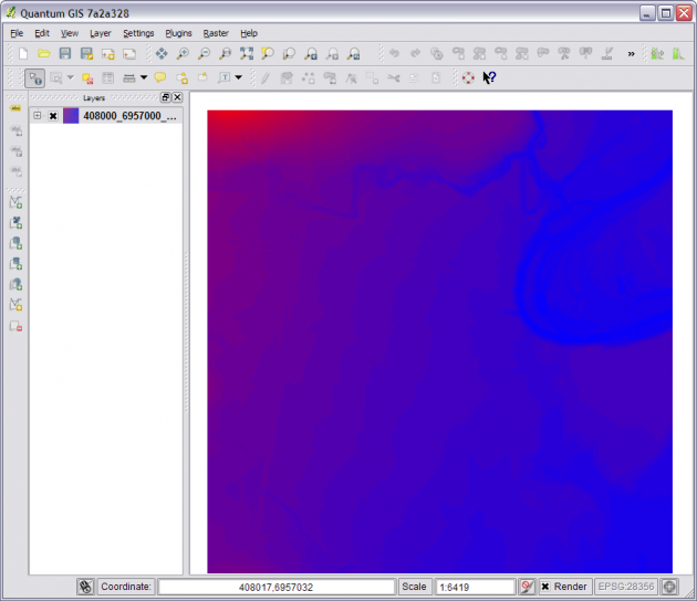
- QGIS
Quantum GIS (QGIS) is a user friendly Open Source Geographic Information System (GIS) licensed under the GNU General Public License.
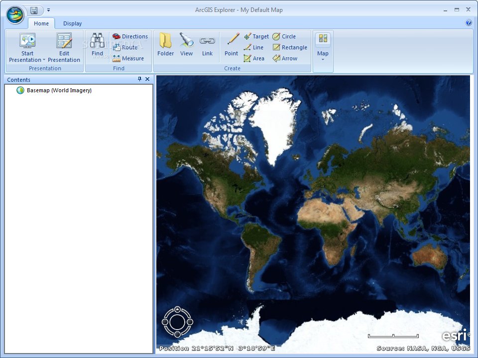
- ArcGIS
A complete system for designing and managing solutions through the application of geographic knowledge.
Footer here
